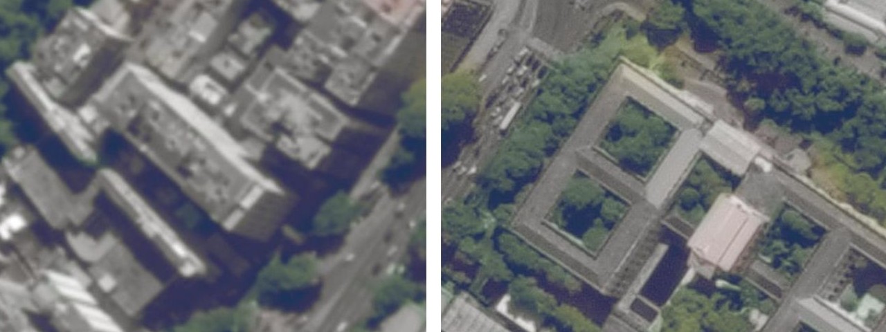
Thanks to the progress which has been made in image processing algorithms, zooming images on-board a satellite to discover more details is no longer science fiction. Super-resolution (SR) reconstruction will change the existing image processing techniques to support decision-making in areas such as land mapping, spatial planning, and rapid responses to emergencies.
What is on-board data processing?
Recently, the topic of on-orbit data processing has been gaining in popularity, as it offers not only up to a 100-fold reduction in the data size without loss of relevant information but also the possibility of real-time application, which is key in crisis management. However, to be efficiently used, firstly, the delivered hyperspectral data require fast processing to enable their analysis in as close to real-time as possible.

